×

|
Rate it:
Tags:
Level: Intermediate
Length: 100 mi (160.9 km)
Surface: Singletrack
Configuration: Network
Elevation: +3,988/ -4,045 ft
Total: 93 riders
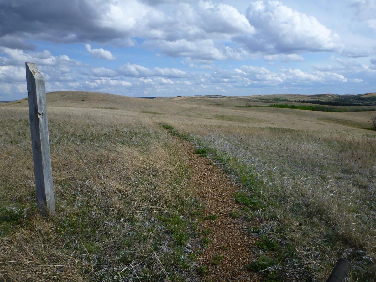
Mountain Biking Maah Daah Hey
#1 of 35 mountain bike trails in North Dakota
This trail absolutely rocks!!! I rode the entire thing the summer of 2003 in an epic trip that lasted five days. Granted you do not have to ride the entire trail to enjoy the picturesque riding which includes high plateaus, drainages, gullies, washouts, prairie, and plenty of winding single track to connect it all. Throw some absolutely killer climbs and long decents in the mix and whalla!!! Thats the trail in a nutshell. Every aspect of riding in one epic journey. While the trail is not overly technical it is not heavily traveled and the views make up for the lack of extremely technical riding. Do not attempt to ride this trail if it wet. It takes about ten feet for the mud to build up so much that the tires dont roll and the bike becomes about 20 pounds heavier. I rode for five days in the middle of summer and only saw three other riders besides my riding buddies. Take plenty of water, spare tubes (there's lots of cactus), and be prepared for a nice long ride. ENJOY!!!!
First added by BaneGoorb on Nov 5, 2004. Last updated May 6, 2020. → add an update
Before you go
- Drinking water: unknown
- Lift service: unknown
- Night riding: yes
- Pump track: unknown
- Restrooms: unknown
- Fat bike grooming: unknown
- E-bikes allowed: unknown
- Fee required: unknown
This trail information is user-generated. Help improve this information by suggesting a correction.
This trial starts or ends at the northern and southern units of Theodore National Park. The best place for directions is to go to Medora and visit Dakota Cyclery which is located by all the shops downtown. Its a small town so the shop isn't hard to find. Just ask for a map and the best sections of trail to currently ride. The people there are great and they'll get you on the right track.
This trail runs /- 100 miles between Medora and the CCC Campground 15 miles south of Watford City, ND. Grassy Butte and Fairfield/So. Fairfield are intermediate towns along US Hwy 85 with access to trailheads.
System trails (2)
Featured in


Loading reviews...View more