Little Beaver State Park is a 562-acre day-use park that features many outdoor recreational opportunities centered around an 18-acre lake. All trails are open for both hiking and biking, but bikers should use caution while riding in high-use areas. The following park trails can be easily linked to create various circuits based on the individuals preference and skill:
Beaver Creek Trail
Many seasonal wildflowers and a stand of virgin pine and oak are features of this half-mile trail that encircles a portion of Beaver Creek. The trail runs above the lake.
Billy Goat's Gruff
This is a challenging bike trail full of rocks and steep inclines. It is an extreme .6 mile challenge.
Black Bear Run
A .5 mile trail that follows a laurel thicket along Beaver Creek.
Creek Bed
A moderate .4 mile of wooded trail for bikers and hikers.
Crooked Rock Trail
Very rocky and challenging trail with steep terrain. 1.2 miles.
Deer Trail
An open trail with .8 miles of changing terrain. The trail changes from an open field to a steep wooded incline.
Drop Off
Starts off moderate and then becomes very steep. .4 mile.
Easy Street
A wooded .5 mile easy trail. Wooded with moderate changing terrain.
Hemlock Trail
A moderate .25 mile trail in a stand of hemlocks.
Laurel Creek
This trail is 2.6 miles and is the second longest trail in the park. It follows the park boundary along Country Club Road and is an easy to moderate walk with changing scenery.
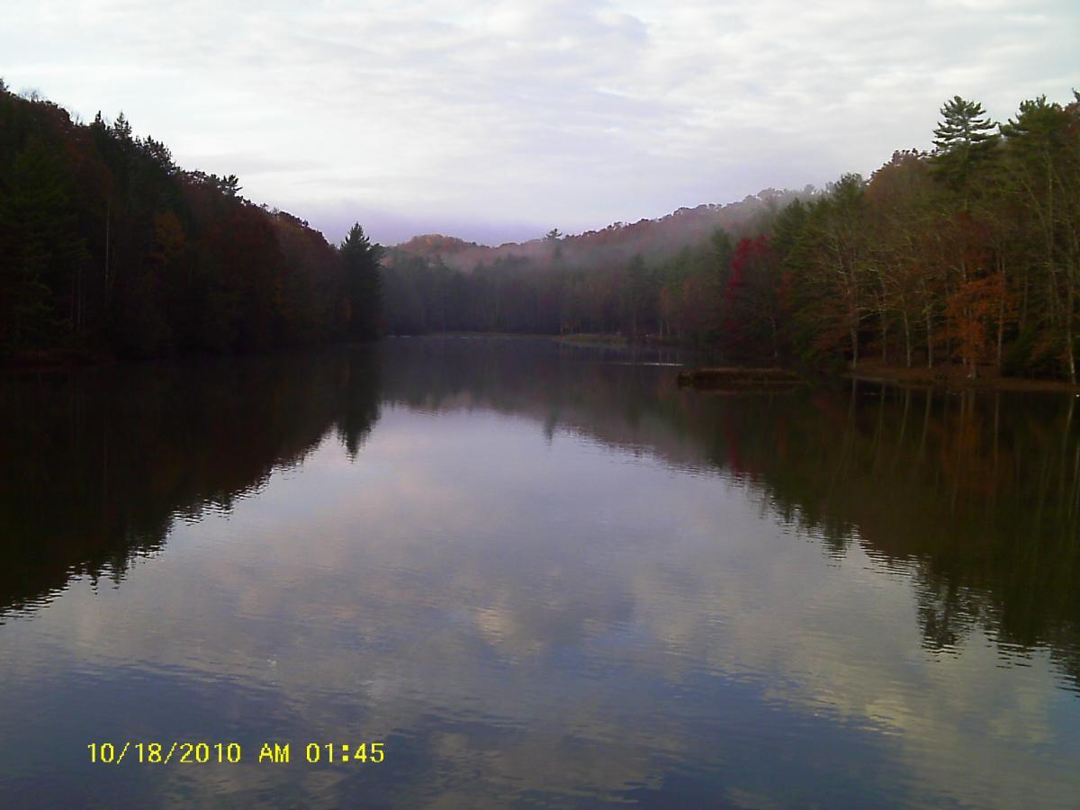
Lake Front Trail
A loop trail that follows the lake front. Very easy and a 1.1 distance.
Nature Ridge
This trail has an incline, sometimes steep, that follows the ridge above the lake. It is a 2.2 mile trail
Railroad Grade
This trail is 1.95 miles long. The scenery ranges from deep woods to open meadows. Gentle loop trail that follows Laurel Run Creek.
Rhododendron Run
This trail is 2.5 miles long, which makes it the longest in the park. It follows the park boundary with extreme terrain challenges to bikers and hikers.
Stone Trough
Rocky and steep wooded trail with changing terrain. The length is .9 miles.
Topper's Ridge
This rocky trail is .7 miles long. It is considered to be a moderate to extreme trail for bikers.
Turkey Spur
A short rocky trail that runs along a ridge spur. .5 miles.
Weaver Way
Moderate 1.5 mile wooded trail with changing terrain.
 | Little Beaver State Park - Beaver Creek | 1 mi | |
 | Little Beaver State Park - Railroad Grade Trail | 2 mi |


This trail is a loop one side of the loop is less technical and has more flow, the other side is very technical with several rocky and rooty areas. This park is full of technical trails that challenge your ability but are a lot of fun. Trails are under used but maintained, this is a hidden jewel and a great place to ride.
| ThankA lot of nice trails in the park which are maintained quite well. Rock gardens are plentiful especially on the sections bordering country club dr.
| ThankWhat part of this trail is for the beginner?It is not very well marked.I get to ride some of the old creek beds and that is not easy.The rest of the trails are pretty good and flowing but are short.The state park is nice and the trail lead right from the camp sights.Wort riding if You are in the area.
| ThankSweet short trail that gives beginners a feel for what other trails at the park have to offer. Not for novices, but fine for those that feel solid on their bikes. Trail does have lots of rocks and roots and might be considered moderately technical - but I rode it as a beginner.
| ThankFlat loop set on a constant rock bed with frequent sections of roots. I pushed my bike some because it exceeded my skill level.* Review edited 9/23/2009
| ThankPark Contact Information:
| Thank1402 Grandview Rd.
Beaver, WV 25813
(304) 763-2494