This is another trail that rides around the perimeter of a lake. This trail is only about roots, roots, and more roots. This trail can be rough on you back, wrists, etc. This trail, which is mostly singletrack, is a good trail to beat up yourself on. I first hated this trail but have come to like it seeing as how I am in such close proximity to it. Give it a try, you may be suprised. The other side of the trail across the bridge is now open again, and is is in better shape than the rootier (is that a word?!?) trail. This side of the lake, is not as rooty. Elevation change includes short uphills and descents.. Length is 1-2 miles.. This trail is not that tough, if you avoid the roots by riding the side of the trail. There are a few log crossings for the brave of heart (wait till you see them) and a few that I can cross (in other words, up to one foot-don't laugh). There is already erosion so its good not to ride this trail in the rain. Kent has marked off a new trail at Lake Johnson. You can get there by staying on the paved path starting at the hilly side of the lake. Follow the paved path through the two large hills and start looking to the right as the paved path meets up with the loop on the left. There is an existing trail on the right that leads to Lake Dam Rd. Follow the trail approximately 1/4 mile and start looking for the bright pink markers on your left. The trail winds through a wooded meadow and ends up on a gravel road. Follow the gravel road to the right and it will take you to Lake Dam Rd. Go left on Lake Dam to the entrance of the park. A trail will soon be marked to get from the gravel road to the main part of Lake Johnson so you wont have to go back out to Lake Dam Rd. The new trail is fun and will eventually provide Lake Johnson with a full Loop ride instead of an out and back route.


Over grown and very short. Lots of roots and rocks. Flow is poor but it's in close proximity to my house.
| Thanki have uploaded a few pictures i have taken along the way. i have ridden this trail about 20 plus times since i lived about a mile away its alot of fun with some great drops and 3 streams to run though. i have seen it during all the seasons. Great place to get started out there is a paved area around the park. Then there is a offroad trails surrounding the lake which is tons of fun. lots of roots in some areas but other then that it is doable. i know the first time i walk almost the whole way on the steep areas but now i can do just about everything also this was my first trail i discovered here in raleigh.
| ThankThis trail is short, but fun. There are a few small stream crossings and a ton of roots that make the ride interesting. You end up riding on paved trail for part of the ride which can be a little crowded but, once you get into the woods, the traffic clears up considerably. I live right next to Lake Johnson so, this is a great before/after-work ride since it is a short ride (about 5 miles total) and so close to home.
| ThankCooltrail with some huge roots along one short section. About a quarter mile of the singletrack is closed to bikes now for environmental concerns.
| ThankThis trail is really in Raleigh, not Morrisville.
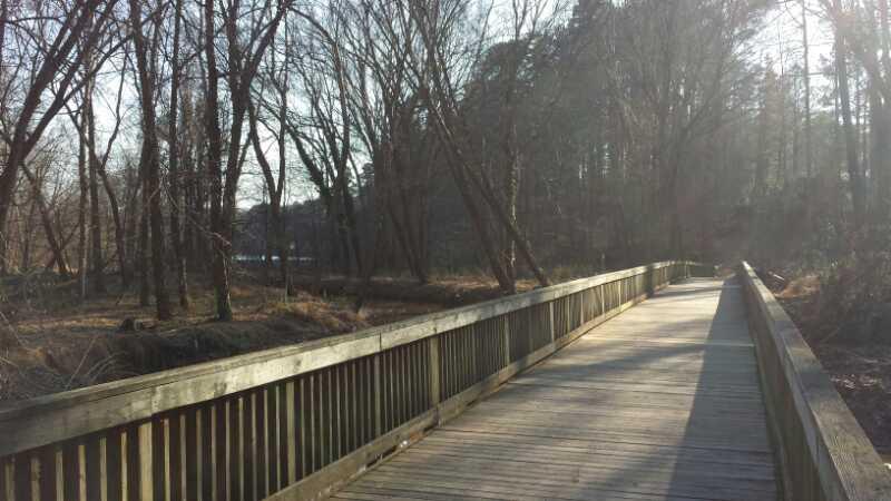
| ThankThe full L. Johnson loop is about 5 miles. That includes the paved part and this trail, and the unpaved trail on the west side of the big bridge.
The roots aren't too bad (imo). I will admit almost flying out of my toe clips on several roots the first time through. Otherwise, it is O.K. There are a few technically challenging things to do here. One steep drop into a stream bed is a nice bit. I still can't ride up that section. There is also a 5 ft drop that is optional. It is near where the bike path gets close to the paved path.
The one peeve is that this is a very short ride, but it is 2 miles from my house, so it's a great weekday trip.