×

|
Rate it:
Tags:
Level:
Length: 26 mi (41.8 km)
Surface: Doubletrack
Configuration: Loop
Elevation: +1,253/ -1,253 ft
Total: 7 riders
Mountain Biking La Tourelloise
#25 of 57 mountain bike trails in France
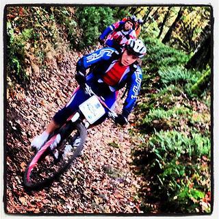
Some gravel road to start with but 90% are double or single track. Most part of the route is in the woods but when reaching hilltops, it affords great viewpoints on the city of Lyon, the Rhône Valley and the Alps in the distance. The trail has quite a few technical sections.
First added by PatriciaBF69 on Dec 8, 2012. Last updated May 1, 2020. → add an update
Before you go
- Drinking water: unknown
- Lift service: unknown
- Night riding: unknown
- Pump track: unknown
- Restrooms: unknown
- Fat bike grooming: unknown
- E-bikes allowed: unknown
- Fee required: unknown
This trail information is user-generated. Help improve this information by suggesting a correction.
La Tour de Salvagny Sports Center