×

|
Rate it:
Tags:
Level: Intermediate
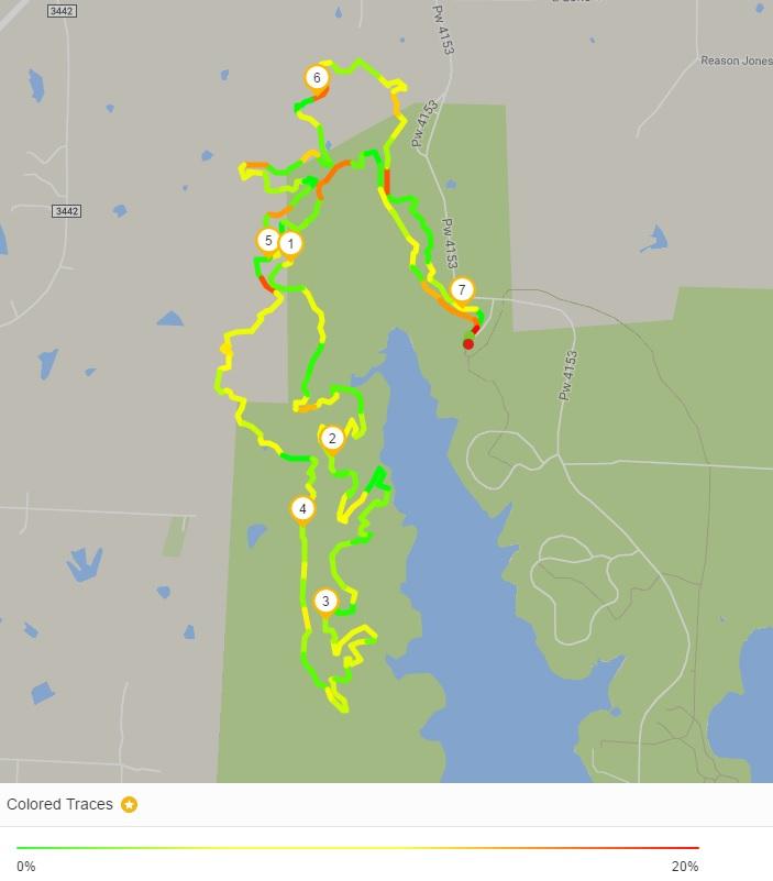
Length: 9 mi (14.5 km)
Surface: Singletrack
Configuration: Loop
Elevation: +68/ -77 ft
Total: 63 riders
Mountain Biking Johnson Branch
#66 of 279 mountain bike trails in Texas
Like it's sister trail Isle du Bois this trail has quite a few rocks. This would include rocky climbs and rocky downhills. It doesn't have nearly as many rocks as Isle du Bois but it has 5 creek crossings. It's very well marked so you know which sections are more difficult than others and also includes several bail out points for those who do not want to do more.
First added by delvar on Jan 15, 2008. Last updated Apr 28, 2020. → add an update
Before you go
- Drinking water: unknown
- Lift service: unknown
- Night riding: unknown
- Pump track: unknown
- Restrooms: unknown
- Fat bike grooming: unknown
- E-bikes allowed: unknown
- Fee required: unknown
This trail information is user-generated. Help improve this information by suggesting a correction.
From I-35 take Lone Oak Road, FM 3002, exit #483". Take 3002 east 7 miles. You will cross over part of the lake, do not turn into the "Pecan Creek Access Area" which is on the east side of the bridge you will cross.After you cross the lake continue on until you come to Johnson Branch entrance on your right (south).


Trail system is nicely marked and the map at the entrance is accurate. Great trail system, allows the rider to pick the distance they want to ride by adding another loop. Challenging but not to challenging, not as rocky as we expected, but we did not do the one expert section.
| ThankThis is a very fun twisty trail, a little bit technical but not to the level of Isle Du Bois. At leat the sections I rode were very nice, a few parts were intense in a good way. I had heard that the Red section was similar to the D section of Isle Du Bois, which left me bruised and scratches from the day before. Most of the Isle Du Bois trail was good there were just a few rocky sections beyond my capability.
| ThankI have fellow riders who really like this trail--I do not. I ride a hardtail and I found it too rocky and part of it may be that it seems that it is a trail prone to causing flats or malfunction. I did not have any bike problems but others have. I just think there is so much to offer on other trails that are closer to Dallas that offer more. I hear Isle Du Bois is even rockier and I have no interest in that area.
| ThankMost loops aren't too hard, but Red loop is one of the most technical areas in DFW. Many challenging areas, big rocks, tough short climbs, lots of flow. My favorite DFW trail.
| Thankrocks. and lots of it. all shapes and sizes too. there's a chance that your legs or fork or bike frame are gonna get well acquainted with the said rocks. but fun nonetheless.
| ThankNice trail with some long moderate climbing, rocks and dips to keep things interesting. A very good time and worth a ride.* Review edited 7/1/2008
| Thank