×

|
Rate it:
Tags:
Level: Intermediate
Length: 3 mi (4.8 km)
Surface: Singletrack
Configuration: Out & Back
Elevation: +197/ -228 ft
Total: 39 riders
Mountain Biking Jim Thompson
#103 of 410 mountain bike trails in Arizona
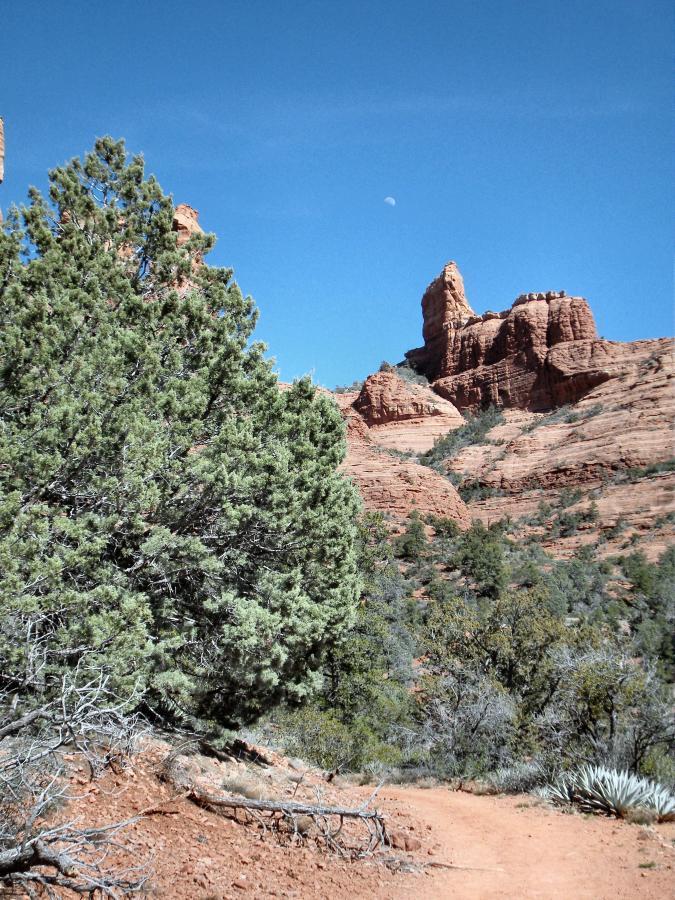
This trail is best ridden west to east unless you like a serious climb. Either way, you'll be treated to some great scenery. Much of the trail is wide and covered with loose rocks. Where it narrows to true singltrack, it's really good. If traveleing from west to east, the descent into Wilson Canyon is a real scream. This trail can be combined with the north Sedona trail complex (Thunder Mountain/Teacup/Jordan) and Huckaby (cross 89a under Midgley Bridge) for a real epic.
First added by John Fisch on Mar 28, 2009. Last updated May 1, 2020. → add an update
Before you go
- Drinking water: unknown
- Lift service: unknown
- Night riding: unknown
- Pump track: unknown
- Restrooms: unknown
- Fat bike grooming: unknown
- E-bikes allowed: unknown
- Fee required: unknown
This trail information is user-generated. Help improve this information by suggesting a correction.
In uptown Sedona, take Jordan Road north to the western trailhead. The eastern trailhead is at the Midgley Bridge on 89a north of town.


Loading reviews...View more