singletracks is mountain biking
 
Trail is Unknown Status
on 11/6/09 by AK_Dan
 
  
Avg Rating: 2 trail reviews
Difficulty: Advanced bike trail - Advanced
Length: 3 miles Global Rank: #4618
Tread: Singletrack Configuration: Out & Back
Ridden: 3 Wishlist: 5
0 trail check-ins Climb // Descend
+1,300 // -1,400 feet


Directions
To view directions to Huckaby mountain bike trail, please login. If you don't have an account, sign up for a free account - it only takes a minute.

Description
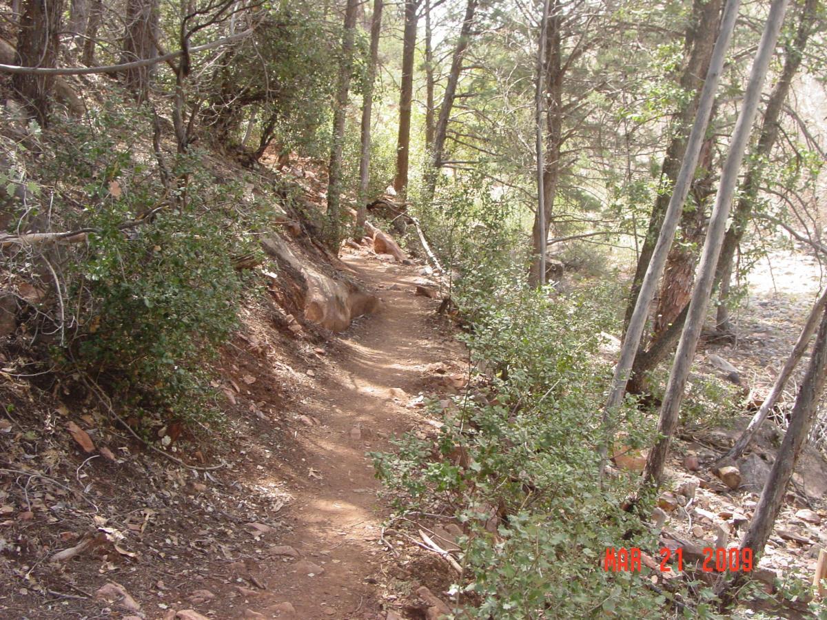
Whichever way you ride this trail, it will involve at least two killer climbs (at least one serious hike-a-bike if heading North to South). Even with the hike-a-bike, I prefer North to South. First, you get the very rapid altitude drop from Midgley Bridge down to Oak Creek. Beware--crossing Oak Creek during high water can be treacherous. Then there's some nice creekside riding. Then comes the BIG climb with 2 foot rock ledges--you will carry your bike up these. Once up on the bench, you get great views of Sedona and all the surrounding red rock formations. Then it's another rapid drop (very fun/moderately technical) to a large wash and then the final climb out to Schnebly hill road. You can combine this all the North Sedona trails by starting at Thunder Mountain and taking the city streets back to finish for a killer loop.

added by skibum Singletrack on March 28, 2009

Trail Reviews   [Add a review]

norski on March 21, 2011
0 out of 0 readers found this useful
 
Review: For large parts of the year, crossing the creeks (going either direction) is probably not a great idea. In the dry part of late summer and in the fall, these creek crossings are just below Midgely Bridge on Hwy 89A north. This route, out and back, is a 4.6 mile trip. Unless you like climbing a lot, recommend you give your bike a rest and do this as a nice hike.

Was this Review helpful? Yes | No
 
AK_Dan on November 6, 2009
0 out of 0 readers found this useful
 
Review: I did this trail as loop by starting with the Jim Thompson tr. I left my vehicle at the Huckaby trailhead on Schnebly Hill rd, riding down the road, through town and up Jordan rd to the Jim Thompson trailhead (3 miles total). The road riding was ok but if I ever do this again I would most definitely ride it in the reverse direction (counter clockwise). ******************** This route is through a short but beautiful canyon, the trail itself is well, its a great Hiking trail. From the bridge down to the creek was a fun, steep drop. Once at the creek I was able to cross relatively easy but found myself on an island looking for a decent place to cross the second channel, I didn’t really find one and ended up in water right up to my crotch. After talking with the locals at the shop that is pretty normal and can get chest deep at different times of the year. Smooth sandy trail for a couple hundred yards with a few interesting rock ledges and slick rock spots then it started up the hill. Lots of dismounts, and hike-a-bike sections all the way up and over the ridge (lots of hikers, even mid-week). Fast downhill via switchbacks to a dry creek bed and then back up to the parking lot. Would be a fun trail done earlier in the day before a majority of the hikers come out and done from S to N.

Was this Review helpful? Yes | No


Arizona Outdoor Lists


Copyright 2013 Blue Spruce Ventures LLC | Decatur, GA  
singletracks.com is yet another slick Review App