Sign In | Create Your Account | Site Map  

Gauley Headwaters Mountain Bike Trail

Slatyfork, West Virginia

MTB TRAIL STATS

Avg Rating: 3 trail reviews
Status: Open
updated 6/24/08 by Outdoornut
Difficulty: Advanced
Length: 37 miles Global Rank: 49
Tread: Singletrack Configuration: Other
Ridden: 10 Wishlist: 28
IMBA Epic Trail
 
Directions: To view directions to Gauley Headwaters mountain bike trail, please login. If you don't have an account, sign up now: it's free, only takes a minute, and gives you access to tons of other rad features.

Description: 
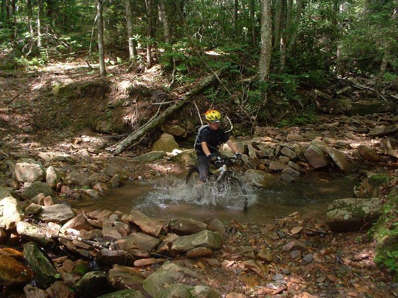
Busting out into a beautiful meadow, you'll be impressed by the stature of the Monongahela National Forest ("the Mon" in local-speak). Then loosen your jaw and relax your elbows as you dive back into the woods for more fun in the rocks. Stay way behind your saddle as a phenomenal singletrack descent - loca**ay it's the tightest downhill in Pocahontas County - drops you into the Tea Creek campground. You can refill your water bottles and prepare for more mossy, shady, rocky, singletrack en route to the headwaters of Tea Creek. Just when you think you've seen enough rocks and hills, you'll be rewarded with smooth sailing on downhill doubletrack. You'll push yourself hard and you'll wonder how you can feel so tired when you're smiling so wide.
added on October 6, 2005 by astroman
Map   Videos   Photos   Bike Shops  

SIMILAR TRAILS

Riders who liked this mountain bike trail also liked:


Cvi Trails in Davis
 

TRAIL REVIEWS   review this trail


reviewed by Palmeris on September 18, 2008

End of August 08/ For our Epic ride, we rode all the way up Mine Rd., took the Gauley Mountain trail down to Scenic Overlook on highway 150. Continued to ride along the Tea Creek Mountain Trail, completing the boulder field and epic downhill. Rode up Bannock Shoals trail to the top. (At this point you can do like I did and ride out on the Fire Rd. 135). The ride continues along the Boundary Trail and ends up back at the Gauley Mountain Trail where you lead back to Mine Rd. and speed down the gravel road to the end. Total distance 57kms or 37 Miles. Extremely Epic Ride!* Review edited 9/18/2008* Review edited 9/18/2008

* Review edited 9/18/2008


reviewed by Outdoornut on June 24, 2008

Just rode most the trail in the Epic area in mid June 2008. The trails are not as wet as usual so it would be a good time to get a sample. Red Run is starting to get a bit overgrown but was still ridable. Had a few small trees down and is a rough and tough as usual. Right Fork was overgrown with briers and grass is a few places. Were able to make if through though. Bear Pen, Boundary, Gauley, Bannock Shoals, etc. all clear.

Similar Trail: See below review.


reviewed by Outdoornut on January 25, 2008

The area around Gauley Mtn is awesome. Sooo many trails. Best bet is to stop at Elk River Touring Center off 219 in Slatyfork, 1/4 mi. south of Beckwith Lumber, and purchase the rugged trail map they have there for about $9.00. Has all the trails listed and even some great suggested rides.

Similar Trail: Bear Pen, Red Run, Tea Creek Mtn., Tea Creek, Boundary, Turkey Point, Bannock Shoals, Gauley Mtn., and can't forget Props Run. You can spend a few days in this area. Then drive just a few miles to the Cranberry area and hit Pocahontas, Kennison Mtn., South Mountain, Frosty Gap, Cow Pasture and more.


Site Map | Advertise | Partners | Contact Us | Terms | Privacy
Camping | Hiking | Trail Running | Mountain Biking
Copyright 2009 Blue Spruce Ventures LLC | Atlanta, GA
singletracks.com is yet another slick Review App