×

|
Rate it:
Tags:
Level: Advanced
Length: 9 mi (14.5 km)
Surface: Singletrack
Configuration: Out & Back
Elevation: +508/ -418 ft
Total: 8 riders
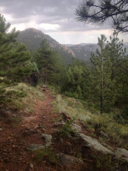
Mountain Biking Coulson Gulch
#524 of 1,368 mountain bike trails in Colorado
This is a sweet descent down to the North Saint Vrain River, then the trail follows the river upstream a couple of miles. It is easy to follow. When you get to the bottom, take a right. (You can go left and into Button Rock Preserve if you're not biking.) There are other trails in this area and it may be posible to turn this into a loop.
First added by Falcon13 on Jul 11, 2009. Last updated May 1, 2020. → add an update
Before you go
- Drinking water: unknown
- Lift service: unknown
- Night riding: unknown
- Pump track: unknown
- Restrooms: unknown
- Fat bike grooming: unknown
- E-bikes allowed: unknown
- Fee required: unknown
This trail information is user-generated. Help improve this information by suggesting a correction.
Take US36 into the mountians from Lyons. After Pinewood Springs, take a left on Big Elk Meadow Dr. When the road forks to the right, go left. Continue half a mile to a national forest parking area


Loading reviews...View more