×

|
Rate it:
Tags:
Level: Intermediate
Length: 9 mi (14.5 km)
Surface: Singletrack
Configuration: Out & Back
Elevation: +1,519/ -537 ft
Total: 9 riders
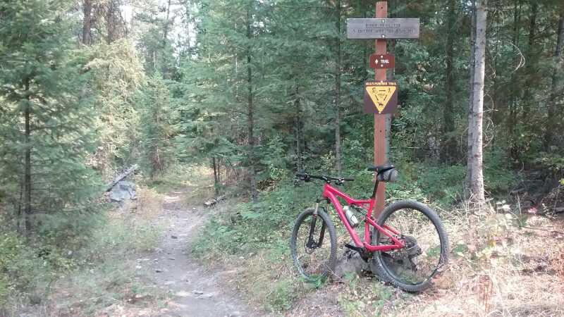
Mountain Biking Clark Fork River Trail #223
#43 of 273 mountain bike trails in Montana
Old growth forest, you'll only hear the river and an occasional train on the other side. Trail has tech climbs on the canyon walls and some rock gardens. Hardly known, beautiful, cool, shady. Best trail I found in Montana.
First added by abegold on May 11, 2009. Last updated Apr 28, 2020. → add an update
Before you go
- Drinking water: unknown
- Lift service: unknown
- Night riding: unknown
- Pump track: unknown
- Restrooms: unknown
- Fat bike grooming: unknown
- E-bikes allowed: unknown
- Fee required: unknown
This trail information is user-generated. Help improve this information by suggesting a correction.
From I-90 northwest of Missoula exit at highway #135 at St. Regis and before reaching Paradise parking lot and trail head on the west side of the highway by the 14 Mile Bridge. Trail is 9 miles each way. Trail starts under train tressel.

Great trail, we biked it today and will run it tomorrow.
| ThankThe other reviews pretty much said it. Quiet, scenic, primarily rolling. I saw osprey, eagles, grouse, and turkeys on my ride. Doesn't get 5 stars from me (I reserve that for only the awesomest rides), but this one is well worthwhile.
| ThankExpect seclusion and shade as I saw no one on this beautiful trail. The river will dominate the sounds with birds and an occasional train across the water. Very few know of this place, even in Missoula. Start at 14 Mile Bridge and bike under train trestle at trail start. Site of an ancient giant flood 15,000 years ago, last ice age
| ThankI spent half the morning trying to find this trail, all the directions I found got me within 3 miles of it, but none were specific. It's unmarked so here's how to get there. The map is correct.
| ThankIf traveling west, Exit I 90 at St. Regis, turn right at stop sign to get on Old Highway 135. Stay on this road for 12.5 miles until you see a sign for Ferry Access Recreation Area on the left right before the bridge. Continue across the bridge and immediately turn left and park at the day parking area. Walk under the bridge and the train trestle, and the trail starts along the river for a few feet before it scales up into the forest along some switchbacks. From there, it's a blast. 9 miles of everything : steep climbs, nice coasting, stumps, roots, rocks, young forest, old forest, shade, a few meadows, pine needles, dirt, rock. A beautiful, gorgeous ride. The first half is pretty technical and the second is a little more relaxed as it follows the teal Clark Fork river. I would recommend turning around when the trail exits into a forest service road, or you will have to ride about 4 to 5 miles on county road til you hit Old Highway 10 just east of St. Regis. Riding 13 miles back to your car on 135 from St. Regis on a mountain bike isn't much fun. Overall, my favorite trail ride so far.* Review edited 9/13/2009* Review edited 9/13/2009