


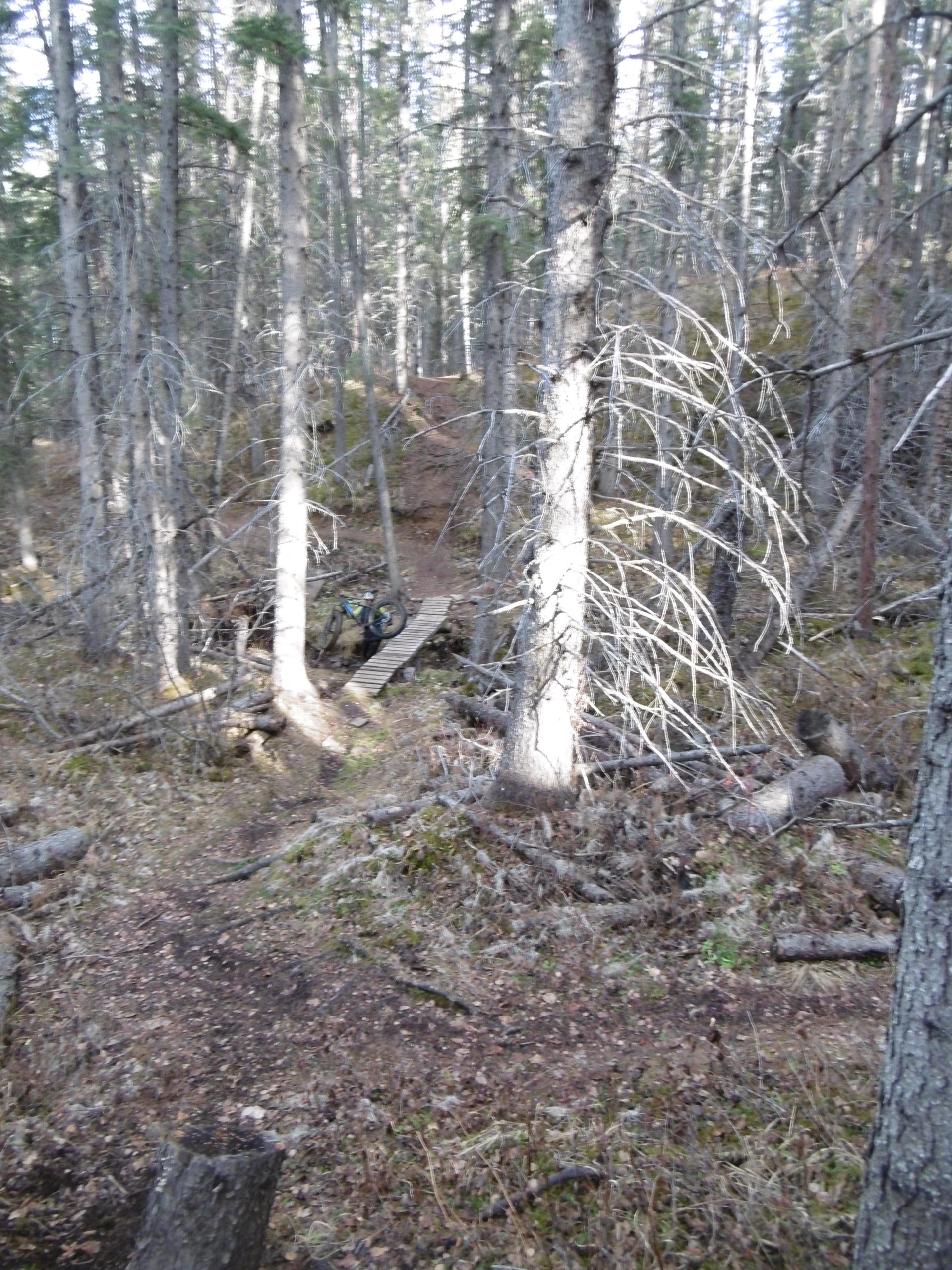
followed Charlie's Cycle Climb up to Jenny's Jungle Jam, one of my favorite trails. Jenny's is a fun rolling trail, towards the end of Jenny's, there is a short switchback down to a creek crossing, bridge slick when wet. You know you are at the end of Jenny's when you go thru a muddy logging road section, that puts you at the beginning of the gravel road. There are two decent climbs on the gravel road. At the end of the second climb there will be a trail to your left, called Christine's Cutline Cruise. It takes you further up and then you come down Dan's Deadly Downhill (makes your day a little longer if you do these trails as well). Continue on the gravel road and on the left you will pass an area that looks like it may be a trail head, keep going. When you see a more obvious trail coming out on the left hand side, this will be the bottom of Dan's Deadly Downhill, look to the right of the gravel road. You will see a grassy trail heading down. This is Sherry's Soaking Swamp. We have been on this in many different conditions, from soaking to down right muddy. Today however it was prime conditions. There is one tricky spot. You will come up to an interesting bridge, with a teeter totter on the left hand side. This is improved from what it used to be. My goal is to make it over the bridge part without stopping, but a couple feet in front of this bridge has a tree root bump which is a little awkward to get over. As you carry on there are some nice dips thru boggy sections and in the right (or wrong) conditions they can be tricky. The end of Sherry's comes out onto a wide quadding trail, turn to the right and follow until you come back to the trail head on the right. This is Charlie's Cylce Climb. Follow this back down keeping to the right. If you choose to take the left hand trail on a wet day be aware that there is more clay and slippery sections (Erin's Extreme Ending). In all this side of the trail system is my favorite.


Loading reviews...View more