


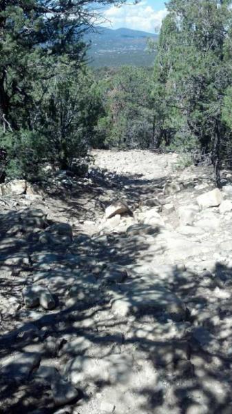
Head up the Chamisoso Road. After a few hundred yards, you should see the Powerline Trail on the right. Follow it over the hill to Chamisoso Canyon and head seft up the canyon. After about four miles of climbing (smooth at the bottom, loose and rocky on the top), you will reach "four corners (the intersection with Coyote Trail and FS 462). This is actuall best done as the downhill leg after climbing FS 462 or the Coyote Trail. There are some confusing intersections, so bring a local or a map.
More details from NaVoronda:
I would change the Description to the following: From the parking lot, travel east on Chamisoso Canyon Rd until you see the ATV bypass railing marked with a sign for trail 05617. Turn right onto the trail and go about 600 ft to where the trail forks and turn right onto trail 05543. Travel roughly � mi. until you come to another fork and turn left onto the Chamisoso Trail marked with a sign for trail 05184. Go another � mi. to the next fork. If you take the left fork up 05620, you can reach Forest Road 462 and the Coyote Trailhead. To continue up Chamisoso Canyon, take the right fork where the trail turns into a doubletrack and proceed a little over a mile. There will be a sign for 05184 to the left where the singletrack picks up again. Go another � mi. through a couple wide switchbacks until you come to a T-intersection with a sign for Mighty Mule pointing to the left. Turn right and keep going until you hit another trail (aprox. � mi.). This is where Chamisoso Trail ends. Turn left onto Delberts Trail (Trail 05622). This is the only part of the trail where I did not see a sign. Travel another 1.2 miles till you hit Forest Road 13 and turn left until you hit Forest Road 462.

Loading reviews...View more