×

|
Rate it:
Tags:
Level: Intermediate
Length: 3.6 mi (5.8 km)
Surface: Singletrack
Configuration: One-way
Elevation: +0/ -655 ft
Total: 23 riders
Mountain Biking C-Trail
#74 of 696 mountain bike trails in Utah
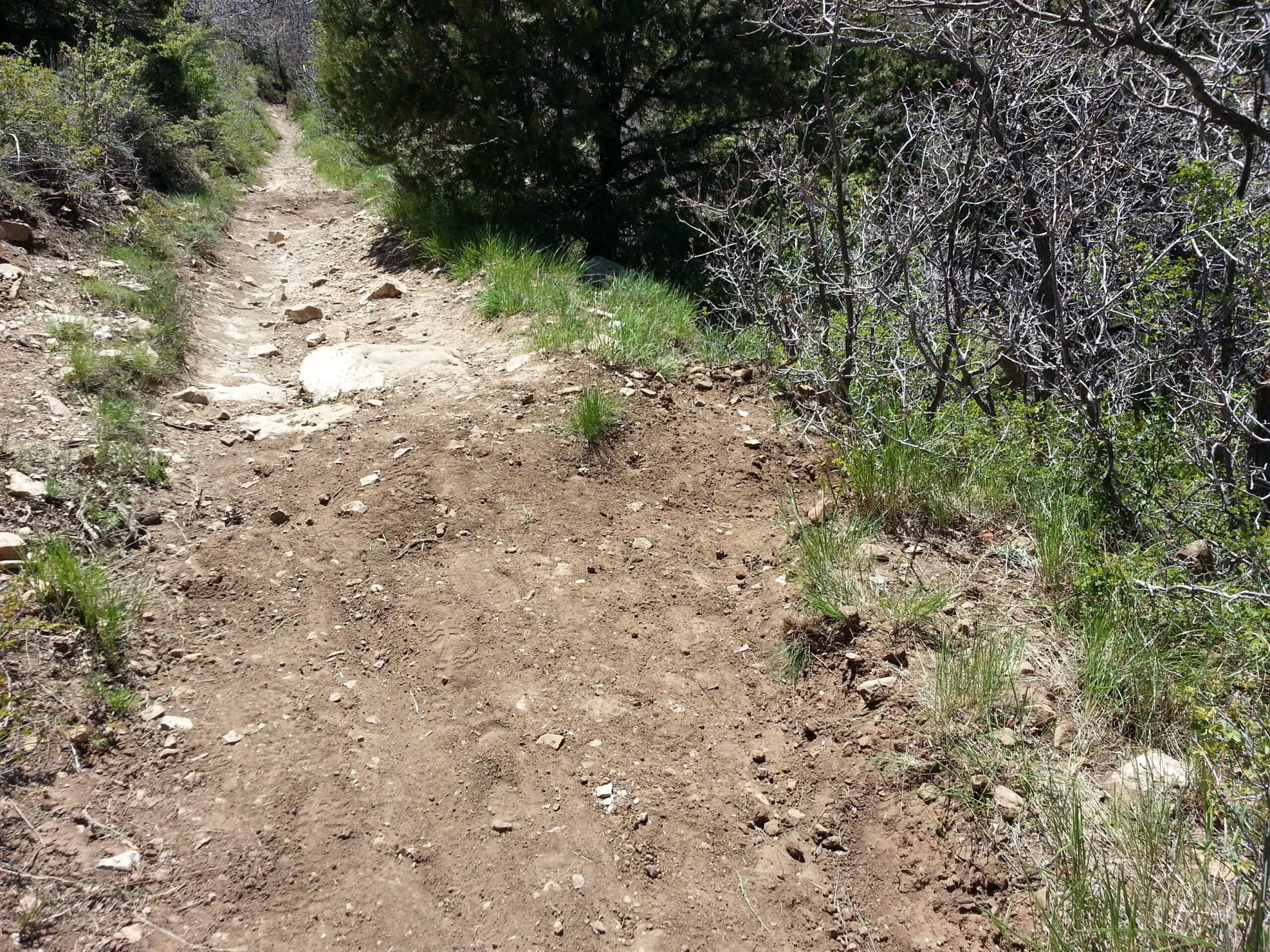
Take C trail for a fun downhill.
First added by rottenbelly on May 12, 2015. Last updated Apr 24, 2020. → add an update
Before you go
- Drinking water: unknown
- Lift service: unknown
- Night riding: unknown
- Pump track: unknown
- Restrooms: unknown
- Fat bike grooming: unknown
- E-bikes allowed: unknown
- Fee required: unknown
This trail information is user-generated. Help improve this information by suggesting a correction.
Go southeast out of town on Utah Highway 14. Right Hand Canyon Road should appear on the right, and take it when it does. The trail starts right where Cedar Highlands Drive splits off to the right.
Featured in


Loading reviews...View more