×

|
Rate it:
Tags:
Level: Intermediate
Length: 4 mi (6.4 km)
Surface: Other
Configuration: Other
Elevation: +240/ -239 ft
Total: 1 riders
Mountain Biking Bluegrouse Ridge Trail
#132 of 1,379 mountain bike trails in British Columbia
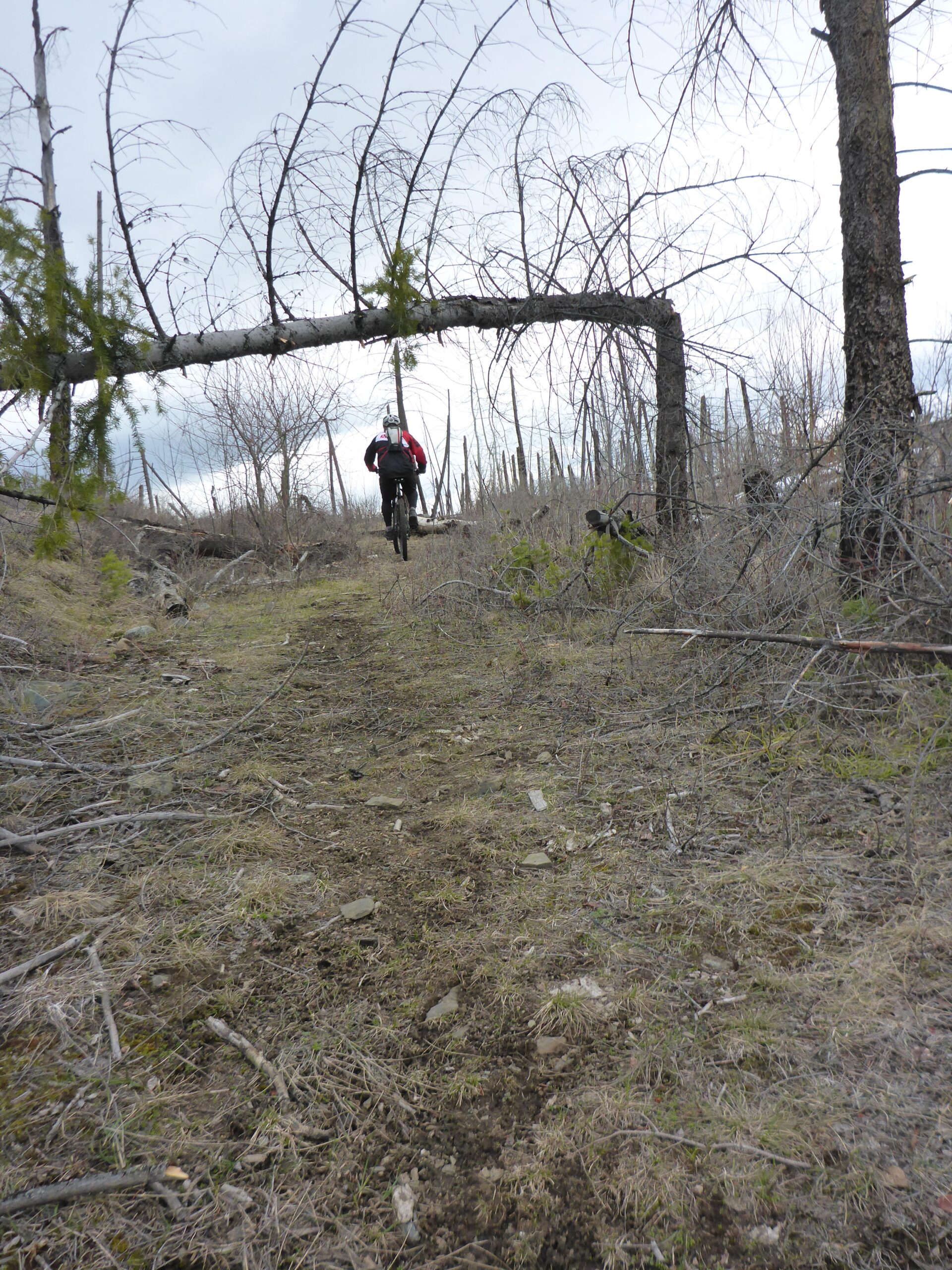
We followed it to the left and this proved to be the best route. Lots of signs showing the way, as you climb up the double track road. It does eventually turn into singletrack and then back into double track. There is climbing in either direction, however if you start to the left, the downhill portion is a nice out.
First added by chuckpelley on Mar 21, 2016. Last updated Apr 23, 2020. → add an update
Before you go
- Drinking water: unknown
- Lift service: unknown
- Night riding: unknown
- Pump track: unknown
- Restrooms: unknown
- Fat bike grooming: unknown
- E-bikes allowed: unknown
- Fee required: unknown
This trail information is user-generated. Help improve this information by suggesting a correction.
On the east side of Barriere there is a bridge on the highway. On the east side of the bridge is a turn called Westsyde Rd. Take this, following it and turning to the left onto Wolsey Rd. Follow up and then stay to the right. You will come upon a wider section and to the left is a trail marker. (See photo of starting trail marker)


Loading reviews...View more