×

|
Rate it:
Tags:
Level: Intermediate
Length: 2 mi (3.2 km)
Surface: Singletrack
Configuration: Loop
Elevation: +57/ -56 ft
Total: 3 riders
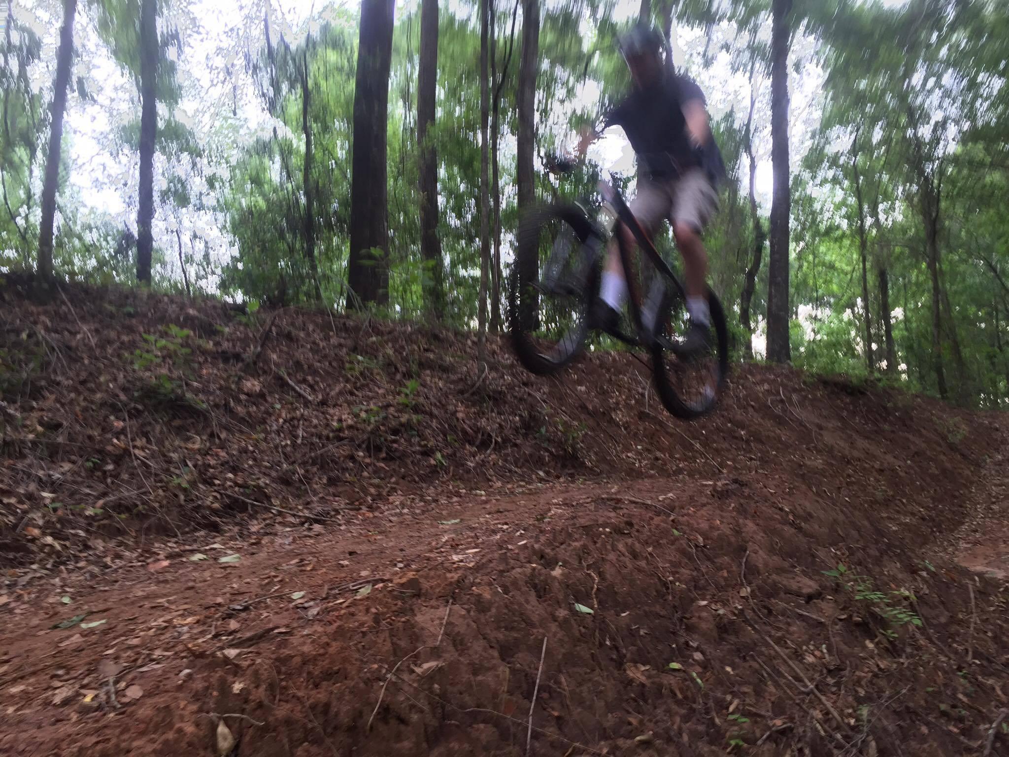
Mountain Biking Big Levee
#39 of 99 mountain bike trails in Alabama
This trail is between the Zion Ridge trail and the S.A.M.'s Creekside Trail. This is an Intermediate / blue difficulty walking, running, and mountain bike trail.
First added by CyberZion on Jul 5, 2016. Last updated Apr 22, 2020. → add an update
Before you go
- Drinking water: unknown
- Lift service: unknown
- Night riding: unknown
- Pump track: unknown
- Restrooms: yes
- Fat bike grooming: unknown
- E-bikes allowed: unknown
- Fee required: unknown
This trail information is user-generated. Help improve this information by suggesting a correction.
From Ross Clark Circle travel west on Fortner Street until you arrive at 3636 Fortner Street on the right.


Loading reviews...View more