×

|
Rate it:
Tags:
Level:
Length: 5 mi (8 km)
Surface: Greenway
Configuration: Out & Back
Elevation: +1,135/ -1,085 ft
Total: 23 riders
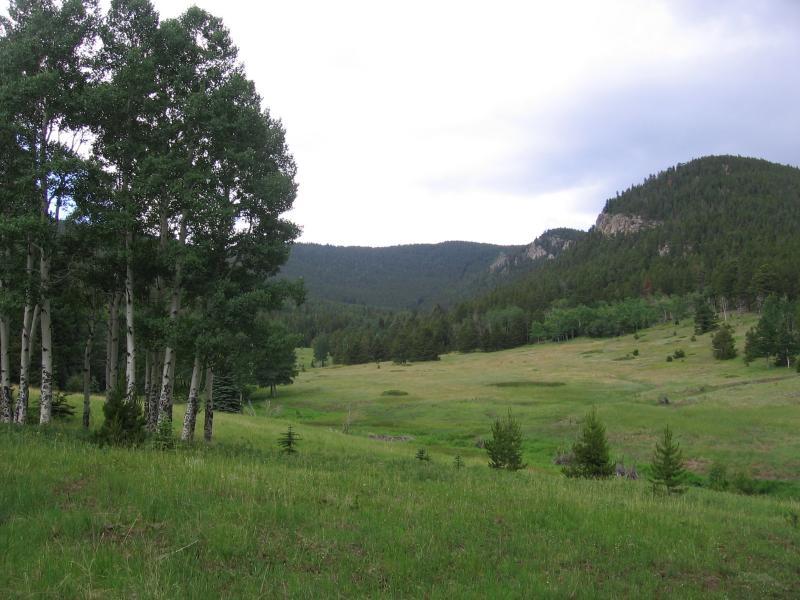
Mountain Biking Beaver Brook Watershed
#851 of 1,368 mountain bike trails in Colorado
This Clear Creek Open Space is located 10 miles from Idaho Springs or just west of Bergen Park on hwy. 103. Currently there is no designated trail system. It looks like Clear Creek Open Space will use the existing roads and trails. There has been a lot of activity at the watershed in the last 50 years so there are plenty of old roads to explore. I did a 22 mile loop from I.S. by riding to the trailhead and then through the watershed to Little Bear Creek rd. in Blue Valley and back down to Idaho Springs. . It was a easy ride through the watershed on a smooth overgrown old road that is becoming singletrack in places. The loop would probably be more fun ridden in the other direction. You can also access the watershed from hwy. 103 (Squaw Pass) across from Witter Gulch or Old Squaw Pass Road and Blue Valley
First added by lostcause on Jul 9, 2008. Last updated Apr 28, 2020. → add an update
Before you go
- Drinking water: unknown
- Lift service: unknown
- Night riding: yes
- Pump track: unknown
- Restrooms: unknown
- Fat bike grooming: unknown
- E-bikes allowed: unknown
- Fee required: unknown
This trail information is user-generated. Help improve this information by suggesting a correction.
From Idaho Springs drive east on I-70 to exit #247 Floyd Hill Beaver Brook turn right then left at the stop sign on CR 182 drive 2 ¾ miles and park at the trail head parking area there are only a couple of parking spaces so you might want to park at Floyd Hill just off I-70


Loading reviews...View more