×

|
Rate it:
Tags:
Level: Beginner
Length: 6 mi (9.7 km)
Surface: Fire Road
Configuration: Out & Back
Elevation: +589/ -591 ft
Total: 10 riders
Mountain Biking Bear Creek FS Road / #101 / #49
#466 of 1,368 mountain bike trails in Colorado
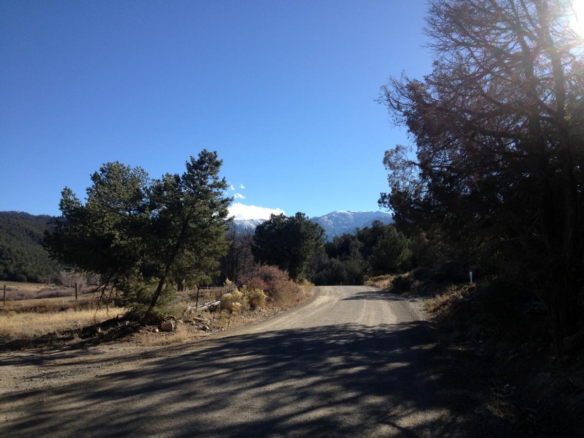
The gravel Bear Creek road meanders uphill for several miles through the beautiful Bear Creek Valley. Once the road passes the Columbine Trailhead, it gets much rougher and steeper, climbing steeply up to the dead end / trailhead where the road T's into the Rainbow Trail.
5.6 miles from the highway to the Rainbow Trail Trailhead
First added by Greg Heil on Oct 23, 2013. Last updated Apr 28, 2020. → add an update
Before you go
- Drinking water: unknown
- Lift service: unknown
- Night riding: unknown
- Pump track: unknown
- Restrooms: unknown
- Fat bike grooming: unknown
- E-bikes allowed: unknown
- Fee required: unknown
This trail information is user-generated. Help improve this information by suggesting a correction.
Head south of Salida on Hwy 50 towards Cotopaxi, and look for road 101 on the right.


Loading reviews...View more