


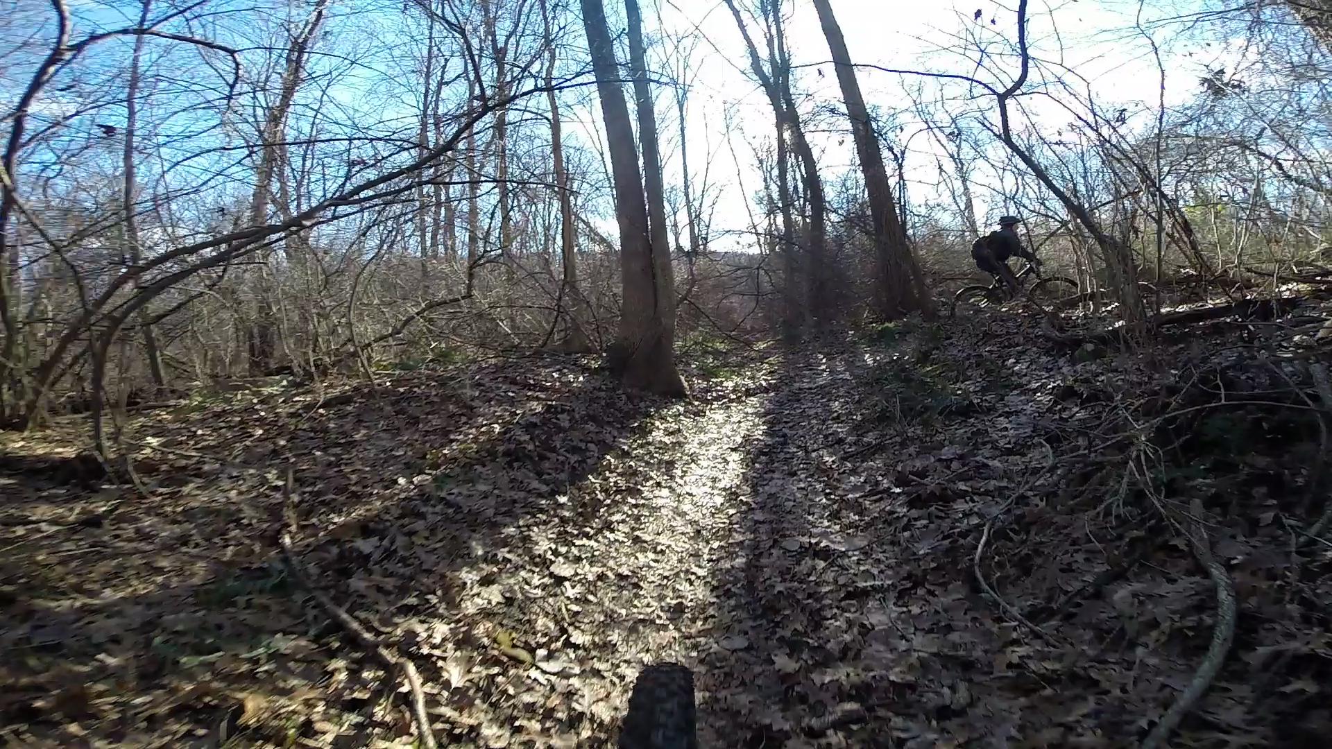
This ride encompasses all three of the adjacent trail systems of Allamuchy Mountain State Park North, Allamuchy Deer Park, and Stephens State Park. This ride is a grueling 4 hours (at least) and is not for beginners. How I like to connect all three parks:
Park on the Sussex branch trailhead at Allamuchy State Park North. Bike up the sussex branch trail about 4 or 5 miles until you reach the green trail (waving willie) on the left. From waving willie, make a right onto the white trail and continue on the white trail until you reach the purple trail (cardiac/ditch) on your left. Turn onto this trail and ride it out until you get to the orange trail, which you merge onto and this finally takes you out of Allamuchy onto county route 517. Make a left onto county route 517 and climb up the road and over highway route 80 until you see the Mountain Villa School on the left. Turn into the school and you will bike through the parking lot and down a grass field until the see the Allamuchy lake trail. To make sure you are going the correct direction, keep the lake to your right. This makes its way into Allamuchy Deer Park. Make the first left onto a trail and continue until you see the white trail in Deer Park, which you merge onto (there will be a slight right that you DO NOT want to take). Continue on the white trail until you see the orange trail on the left, which you will take until it drops you out onto Waterloo Road. Make a right onto Waterloo Road and then an immediate left onto Kinney Road. On Kinney Road, you will cross a bridge and then see an iron gate on the left. Take the trail around the iron gate and you will be in an abandoned parking lot. There will be a trail to the left of that parking lot that takes you through a quarry and eventually to waterloo valley road. There will be a trail directly across waterloo valley road. Take this trail until it ends and make a left. The trail that you turn left onto is more of a rail trail than singletrack. This trail will then turn right underneath a railroad and there will be multiple options of singletrack trail that you can take after that. From there, it gets too confusing to describe the route. However, if you successfully loop around and back to the trail that goes underneath the railroad, take it again and make a right onto a trail that leads you back to waterloo valley road. From here, slightly to the right there is a trail that goes downhill and is mostly pavement. This trail goes underneath route 80 and takes you back to continental drive. Take a left onto continental drive, and you will be back to the Allamuchy State Park north parking lot! This route is very difficult to explain in words, so I would recommend using a garmin gps route and using your smart phone to do the ride. Here are a few routes on gps that cover all three parks:
http://connect.garmin.com/activity/298175861
http://connect.garmin.com/page/activity/activity.faces?activityId=32581186&actionMethod=page/activity/activity.xhtml:userSwitcher.switchSystem&cid=2708239
http://connect.garmin.com/page/activity/activity.faces;jsessionid=69189FF9C3959D9BD897DDA5D530EDE9?activityId=33401470&actionMethod=page/activity/activity.xhtml:userSwitcher.switchSystem&cid=595609
http://ridewithgps.com/trips/1913605
http://connect.garmin.com/activity/52277857
http://connect.garmin.com/activity/19733659
NOTE: There are multiple ways this ride can be done, and therefore multiple different distances/times the triple connector can be done. The ride I described is about 25 miles, but others are longer/shorter.


Loading reviews...View more